Today I set off for the Warrumbungles, which is always a fun word to say.
Apparently, the name comes from the local Aboriginal people – the Gamilaroi – and it means ‘crooked mountains’. The mountains themselves are the remnants of an eroded shield volcano, which was about a kilometre high and fifty kilometres wide. We don’t need to worry about it, though – the last time it was active was over ten million years ago. As one would expect, there’s a lot of volcanic rock in the area.
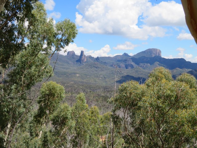
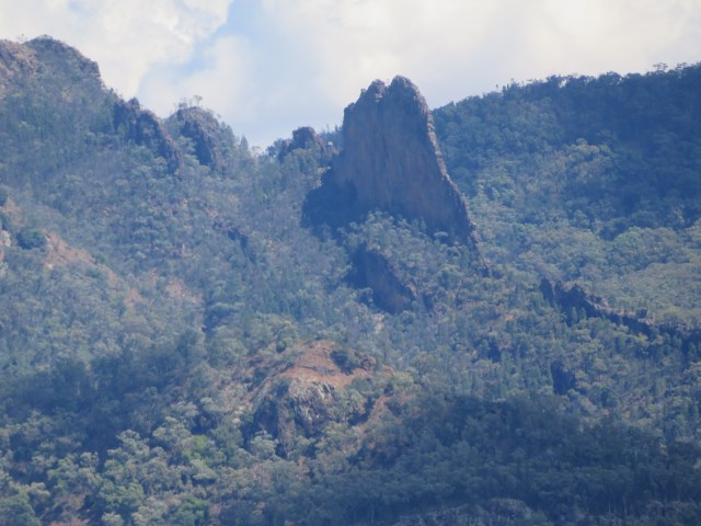
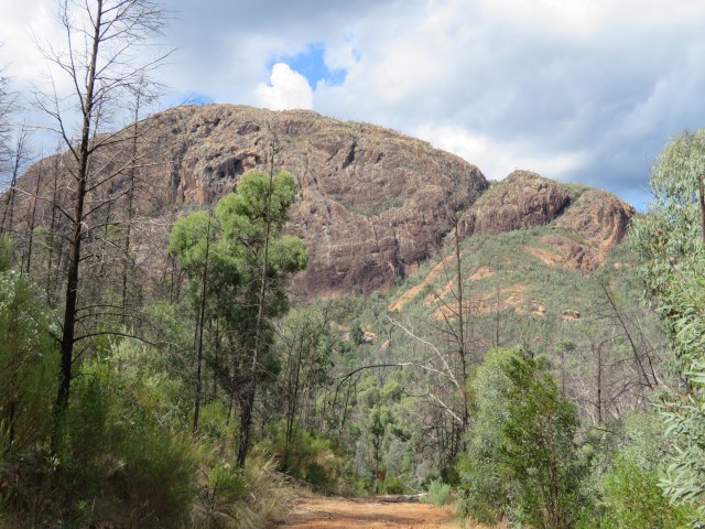
On the way there, I stopped at a place called Warrumbungles outlook, and took a photo of the mountains in the distance:
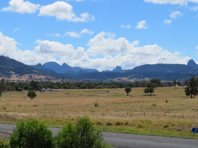
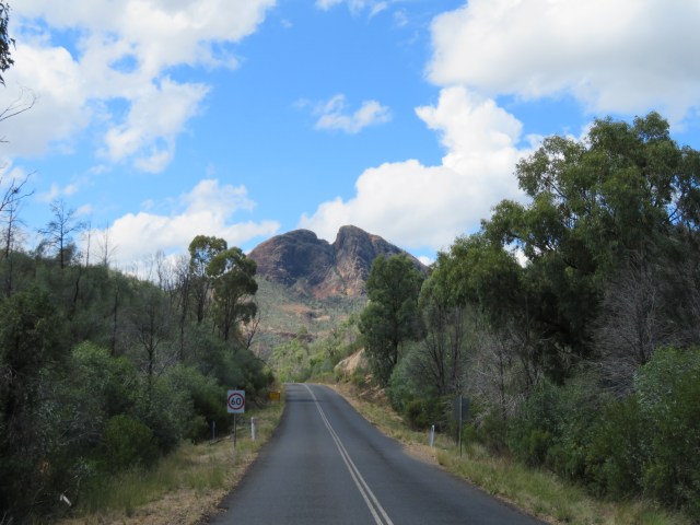
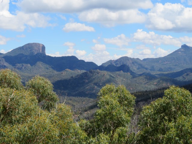
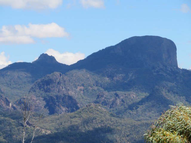
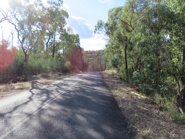
There were also some nice mountain views on the drive in:

I stopped at the temporary visitors’ centre to get a map and pay for my entry:

For those of you who are confused – several national parks in NSW require you to pay for entry. I’m not sure if that’s a NSW thing, or if other states do it too.
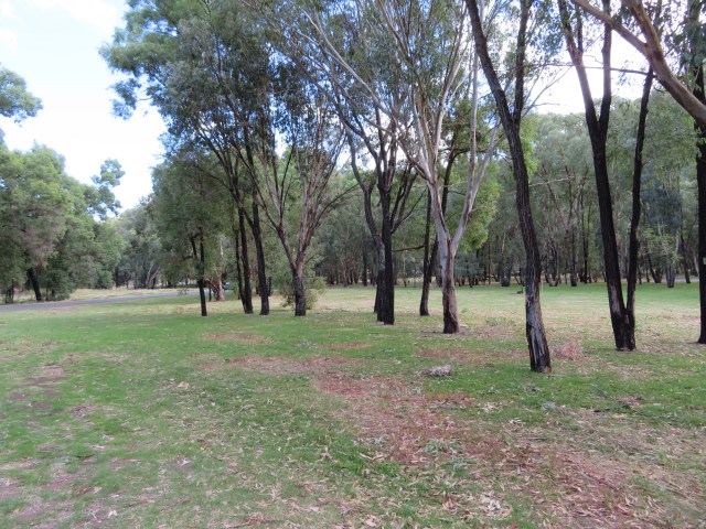
It was in the visitor’s centre that I learned how the Warrumbungles were formed, and also that the national park is still in the process of recovering from a massive fire and flood event. In 2013, a massive bushfire burnt seventy-two percent of the park almost to the ground, and then two days later a storm dropped 125mm of rainfall in less than thirty minutes. The result was catastrophic soil erosion – some places were scoured down to the bedrock.
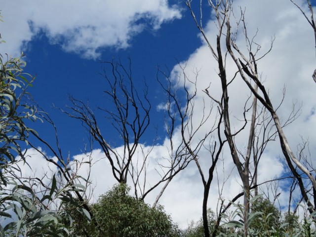
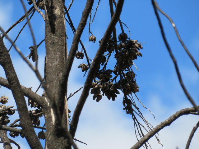
I could see the scars from the fire on some of the trees around the visitors’ centre:
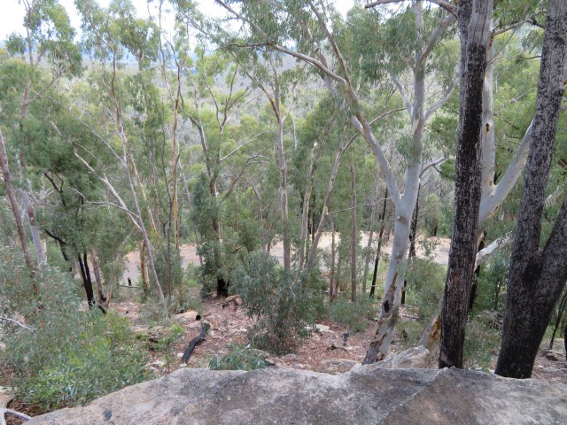
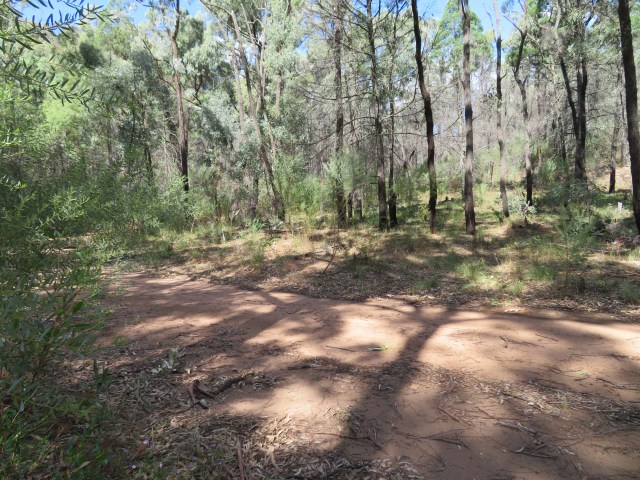
When I came, they’d recently had some issues with flash-floods, so the long, steep tracks up the mountains were closed. That was fine by me – I was more interested at looking at the mountains themselves than climbing them. Besides, one lookout was still open, so I headed off towards it, but my first stop was a short nature walk beside a creek.
I still had a pretty nice view of a mountain:

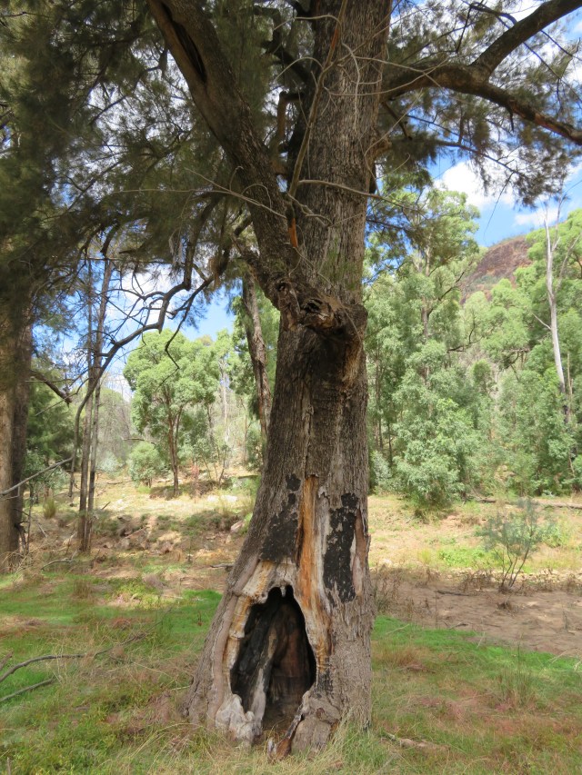
Another tree damaged by fire:
There was also some birdsong:
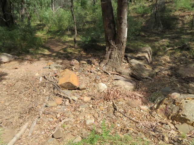
I followed it, and found the creek:
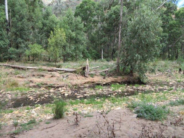
I also found an immature male fairywren:
And a female:
I’m not quite sure of the species, because the females are kind of interchangeable, and a lot of male fairywrens have blue on their head. I did manage to get a male and female together, and this one is definitely a juvenile variegated fairywren:
I didn’t see any mature males, just the juveniles. And it’s not like you can tell with the females, so maybe these are the teenagers trying to prove their independence – maybe going down to the creek is the bird equivalent of going to a raucous party with drinking and drugs.
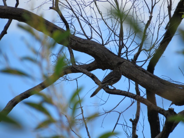
They weren’t the only ones at the creek – there was a female Rufous Whistler on the other side:
And I caught a willie wagtail having a bath:
Then I set off down the trail:
Landscapes, coming at you:
I also found a spot in the sand where someone had clearly marked out…something:
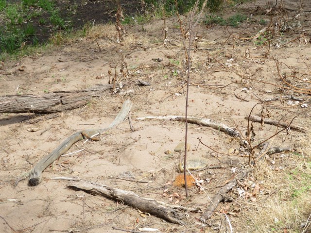
I’m not sure what it’s supposed to be, but I know branches don’t arrange themselves in a square with one sticking up in the corner. There’s no ash, so it’s not likely to be a fire pit, but I have no idea what else it could be. Unless someone was just messing around – that’s always a good explanation.
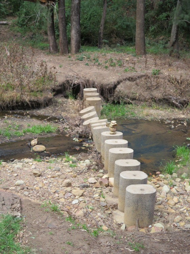
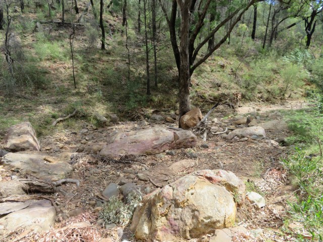
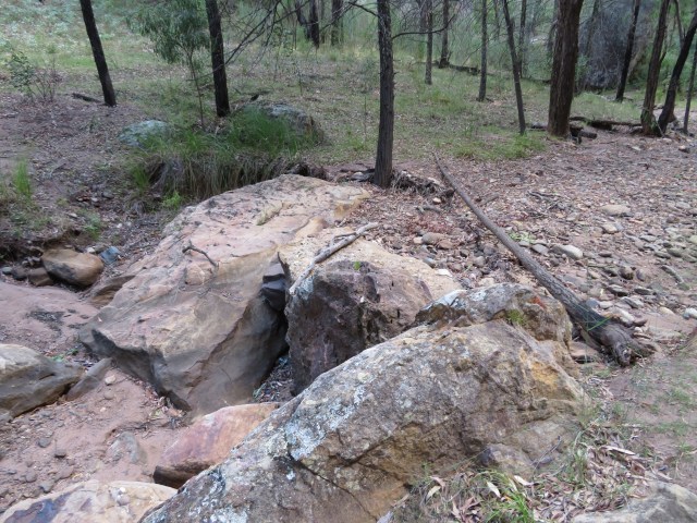
Unfortunately, that was all the trail yielded, because just around the corner I found this:
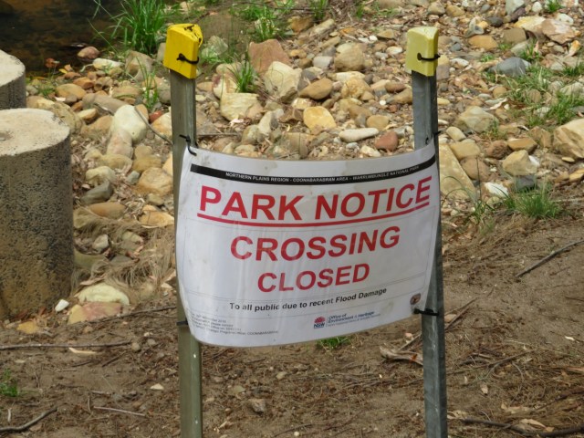
And a sign proclaiming it was closed:
To be honest, the creek was shallow enough that I could have hopped across easily, and I could see the trail continuing on the other side:
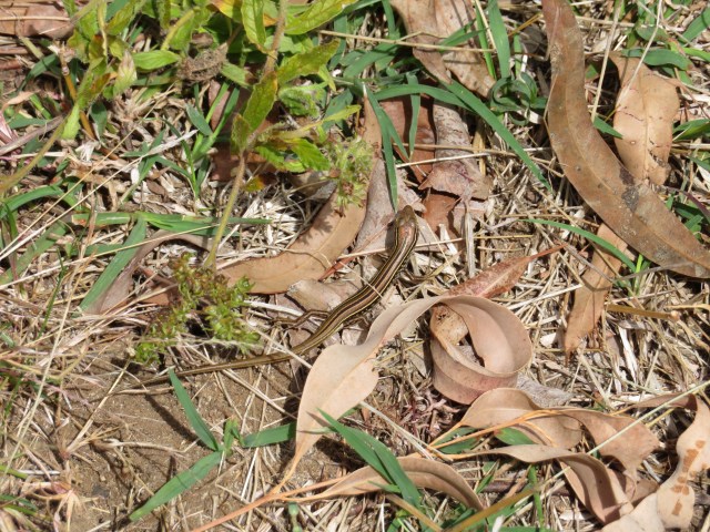
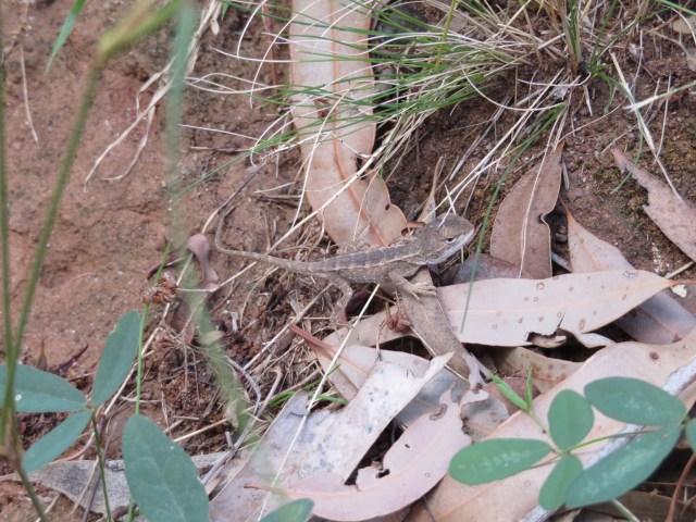
But ignoring park warning signs leads to dying an ignoble death in the outback, so I turned around. I spotted this little lizard on the way back:
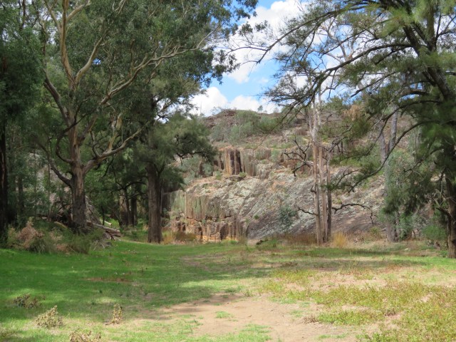
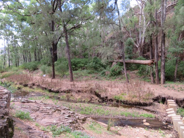
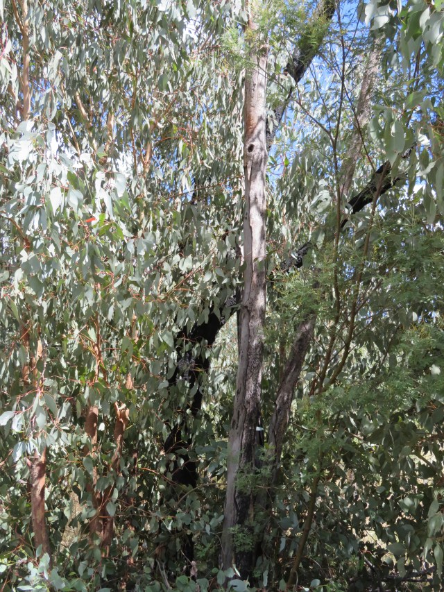
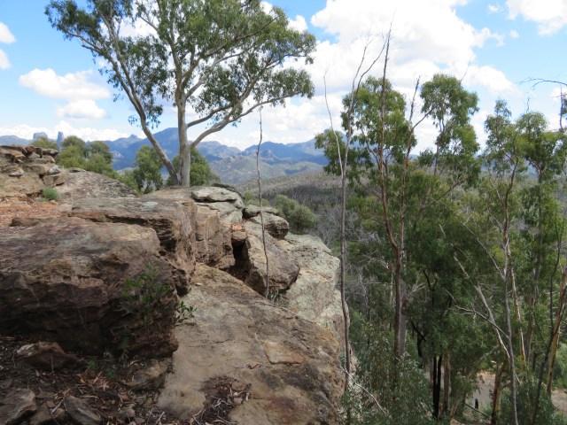
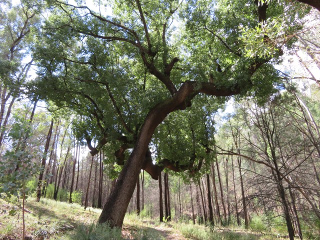
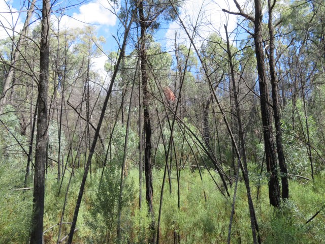
Then I drove up to Whitegum Lookout. It was much higher than the creek walk, and was a different environment:


See how I snuck those in there? There was a lot of recent growth, among some trees that were basically charcoal. I took a picture of a tree that was completely burnt, almost obscured by the new trees sprouting around it:
I’m not sure if the fire hit harder here, or if the new growth just took longer to set in, but the place smelled like ash. Though that could easily have been something else – I doubt the smell would stick around for years, right? Though with all those blackened trees around…who knows?
The dead trees are clearly an issue, because there was this warning sign:
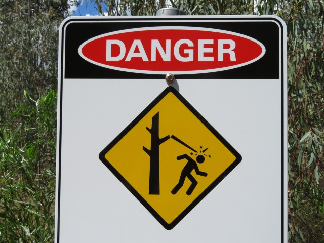
It means that tree branches can fall on you, not that sentient trees may slap you upside the head.
I found a miniature dragon along the path:
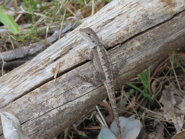
Dragon as in lizard dragon, obviously, not mythical dragon, or I’d be a lot more rich and famous now.
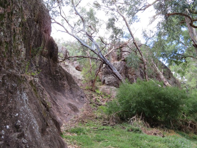
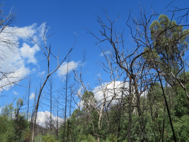
It was bit weird to see so many dead trees around, especially because the new trees were still so short in comparison – it led to this scenario where it looked like a thriving forest at eye-level, but as soon as I looked up:
Everything is pain and death!
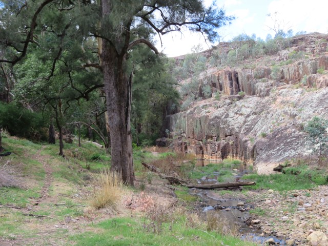
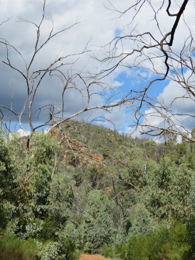
I could see more of the same when a gap appeared in the foliage and I could look down on the park:
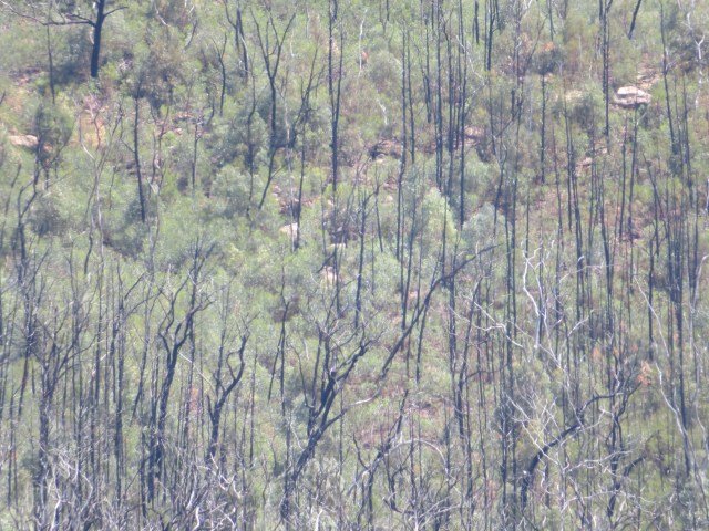
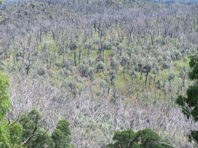
A layer of new growth, with the dead trees sticking out of it like really weird nails. I also had a nice view to another mountain, shadowed by a cloud:
There was some fungus growing on the dead trees as well:
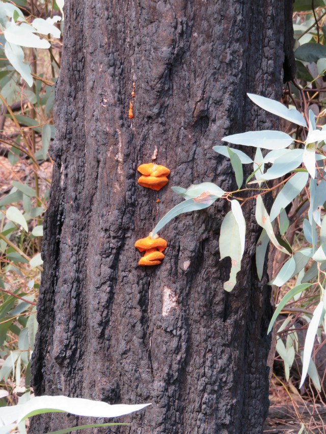
You can insert your own statement about the cyclical nature of life and death here – I was more interested in the view:

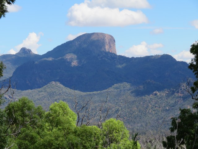
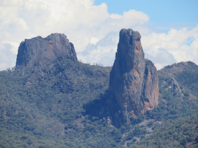
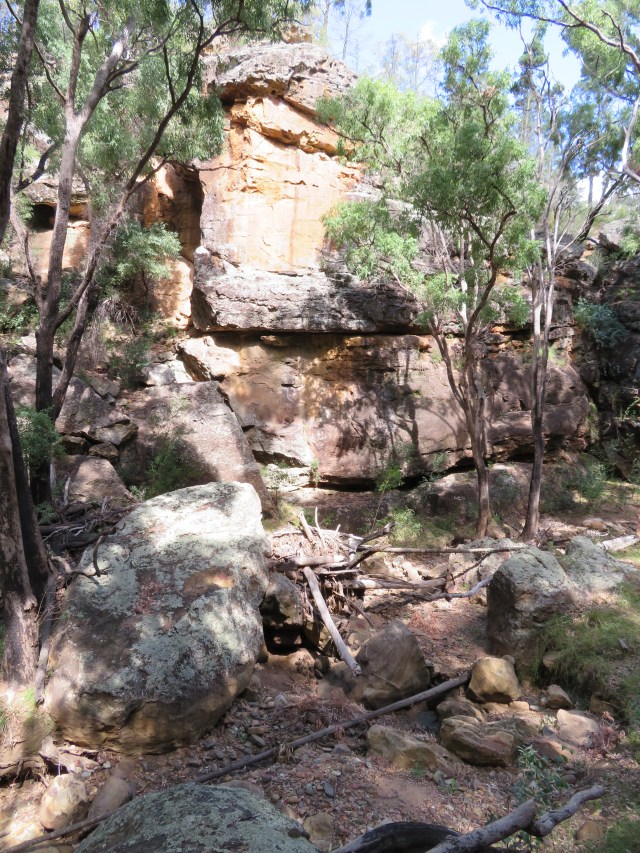
And now for some close-ups – this is Crater Bluff and Belougery Spire:
This is the Breadknife, a rare and unusual formation that consists of a straight wall of rock nearly a hundred metres high:
Against the horizon you have Bluff Pyramid and Bluff Mountain, and the two peaks in front of them are Balor Peak and Bress Peak:
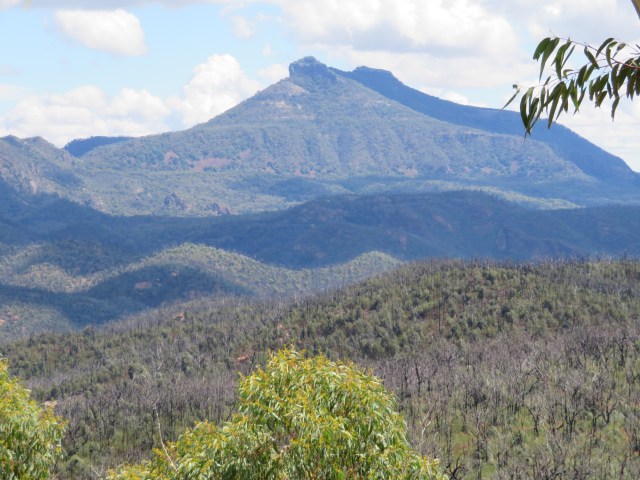
This is Mount Exmouth:
And Belougery Split Rock:

At this point, I was feeling pretty hungry, so I sat down on a nice, flat rock nearby to have a sandwich:
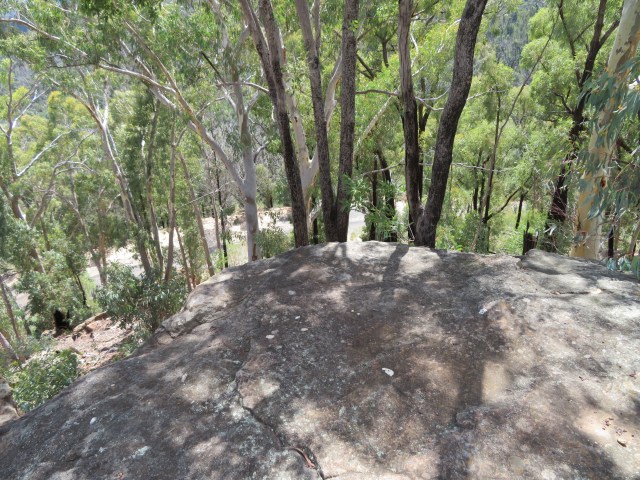
This was my view down to the road I drove up:
And to the side:
It was shady, and there was a soft breeze blowing, so it was a nice place to sit and rest for a bit. Once I was fuelled up, I set off back for the car. On the way, I spotted some ants wrestling with the carcass of…something. Maybe a beetle? They were having some difficulty getting it in the hole:
But they managed in the end:
I also spotted an Australian figbird:
My final walk was called the Burbie Canyon Walk, on the way out of the park. I parked the car, and set off through this kind of landscape:


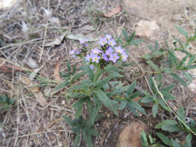
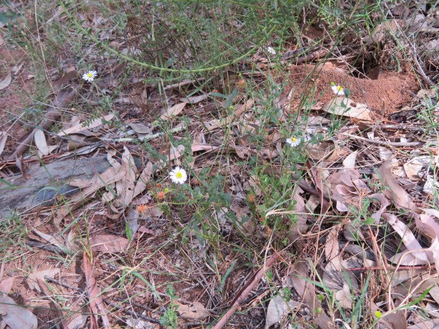
There were some flowers scattered here and there through the grass – I took some photos:
A burned tree that’s actually regenerating – it’s still managing to sprout leaves, at least:
I could hear some birds, but I didn’t see any of them, not at this stage:
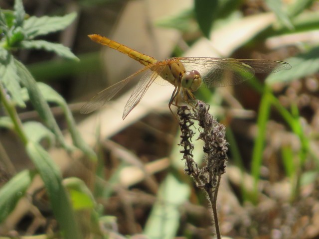
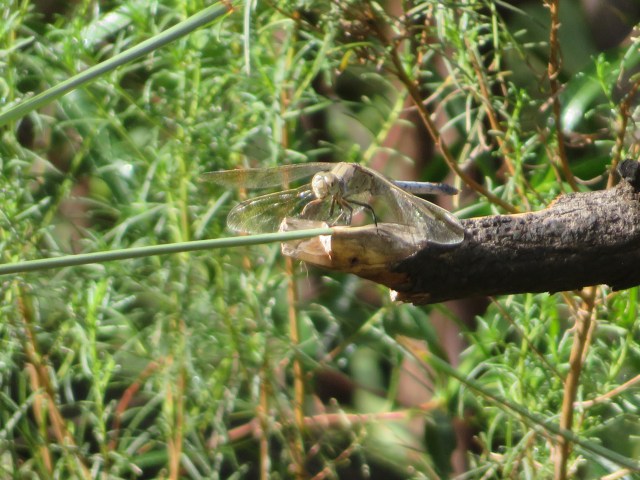
I did see some insects, though. I managed what I think is a pretty awesome photo of a dragonfly:
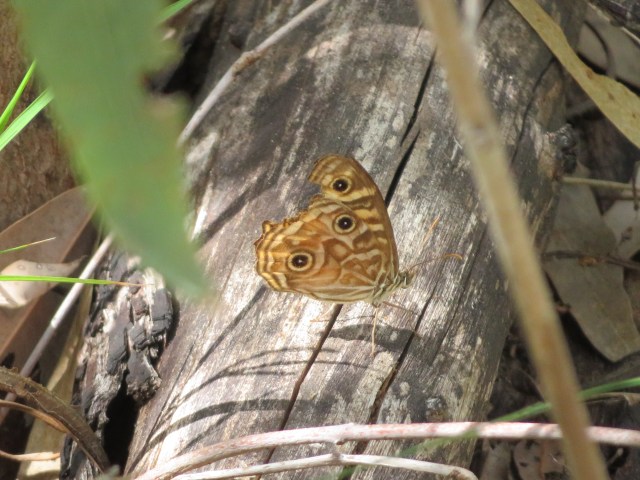
I also found two butterflies (well, there were more than two, but I only managed to record two of them). This one I got a photo of:
And this one I got on film:
I tried to get photos of it with its wings open, but that just wasn’t happening – my reflexes aren’t good enough for that.
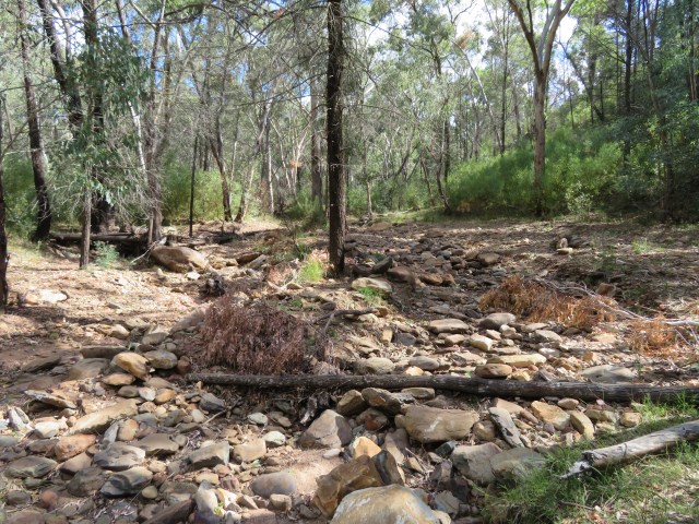
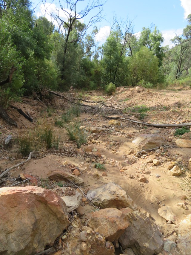
Eventually, I came to a place where the path crossed a dry creek bed:
Looking upstream:

Looking downstream:
An informative sign told me this was an ephemeral creek, only flowing after heavy rainfall. I guess the brief flash-flood a few days ago wasn’t enough to keep it in business.
It was pretty quiet after the creek, and I didn’t hear many birds. At one point, I had to squeeze between two rocks:
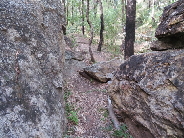
I was starting to understand why they call it a canyon walk:

Another point at which I had to cross the creek bed:
They must close this path during heavy rain – it’s not like there are bridges across it, after all. I’d been hearing plenty of rustling in the grass, but after that crossing I spotted what was making it (that time, at least):
Another tiny dragon! Considering that’s a eucalyptus leaf its holding on to, that gives you a good idea of its size.
Random quartz in the middle of the path:
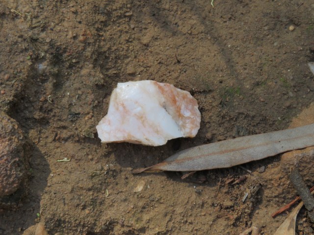
There was a lot of this scattered around. Considering most quartz crystallises from molten magma, it’s probably not surprising to find it around a long-extinct volcano.
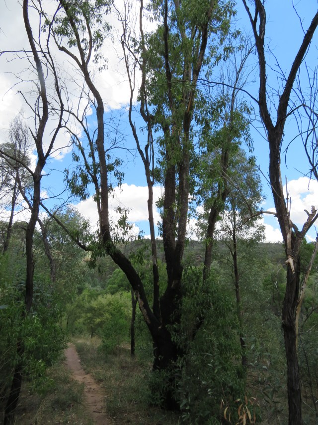
At this point, I was starting to rise out of the canyon, and the environment was changing:


I passed this tree, which looked very dead:
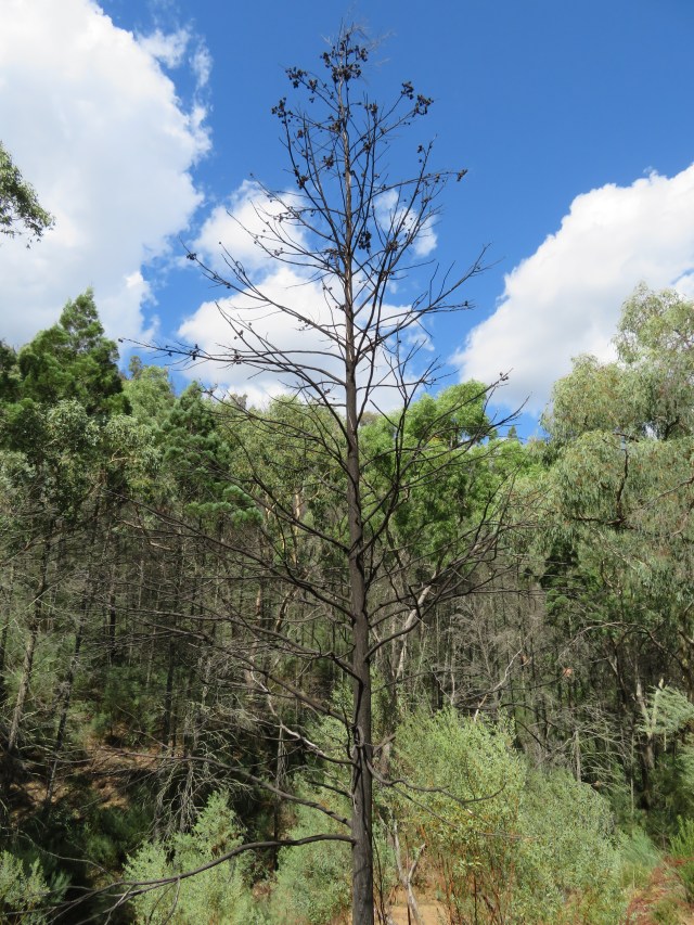
But I also noticed seed pods on it:
Of course, it could have died after germinating, but I still found myself wondering if it was just dormant, so to speak.
I leaned over a rocky outcropping to find the creek bed beneath me:

When I hit forest again, I could hear birds, and I managed to spot a striated thornbill for a few seconds:
And a grey fantail:
I also passed an enormous tree, slightly scarred by fire:
Another creek crossing – you really couldn’t walk this if the creek was running:
This was where I started to hear some weird sounds up ahead:
Honestly, with that yelling, my first thought was someone was hurt, or very drunk (or both). But instead I found:
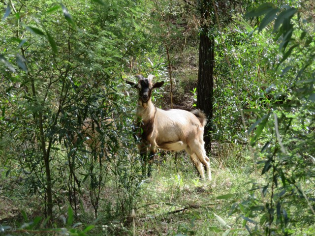
Goats! They were just as startled to see me as I was to see them, and they all took off down the trail. I got some video of them fleeing:
I like that moment where they slow down so the rest can catch up, then they seem to remember that I’m behind them and put on some speed again.
This was the end of the footpath, and here was where the track joined a firetrail:
The map promised me it looped around, so I kept going through this kind of bush:


A lot of the burnt trees were bent over, maybe from wind, maybe from their roots gradually degenerating – I’m not sure:
More dead trees against the sky:
The firetrail was the first place where the warning signs about falling trees proved true:


And it was much more open than the footpath, so the swathe of cleared vegetation gave me great mountain views:

I stumbled across this in the middle of the road:
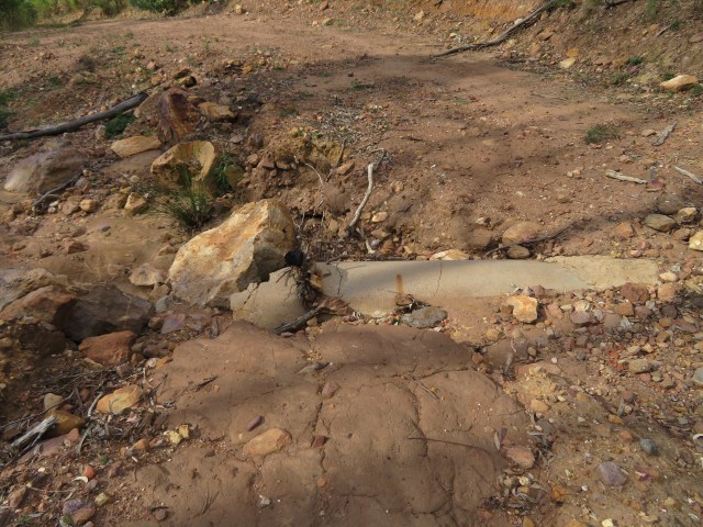
Random pipe outlet into a dry creek bed:
It’s obviously for water, but I couldn’t find the other end. Though given the flash-flood they were talking about, it’s entirely possible the other end got clogged with dirt and is now unrecognisable.
I found another dragonfly by the side of the road:
Well, it was more like it zipped past my face and I watched to see where it landed, but that still counts.
A few hundred metres past the dragonfly, I was walking through a shady spot that seemed to be full of birds. I could hear a lot, but the dense scrub to either side meant I didn’t see much, and just managed to get these two.
A white-throated treecreeper (a male this time – the first one I’ve seen):
Buff-rumped thornbill:
The walk led me to a campsite and then back onto the road:
My car was parked four hundred metres up the road, so I started walking, keeping a careful ear out for traffic. I heard something chattering, so I looked over and saw these White-winged Choughs:
Interestingly, white-winged choughs are the only birds known to practice slavery. They are communal breeders, in which offspring from previous years will remain to help raise the next generation, and the more members a group has, the better the chance of survival for the chicks. So, if they have the opportunity, choughs will kidnap juveniles from neighbouring families and pressgang them into service.
Juveniles have also been observed to engage in deception; they’ll bring food back to the nest and pretend to feed the chicks, but will actually eat the food themselves. This is considered a mark of intelligence, in the same way that smart kids will start lying earlier than their peers – it actually takes quite a bit of brainpower to realise that your perspective is not everyone’s perspective, and that said perspective can be fooled.
Just before I made it back to my car, I found some kangaroos:
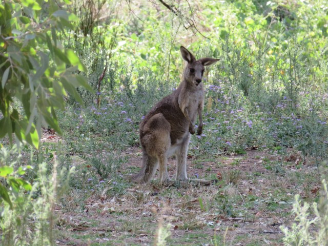
I took a video of one of them walking, just because I like the way they basically use their tail as a fifth leg:
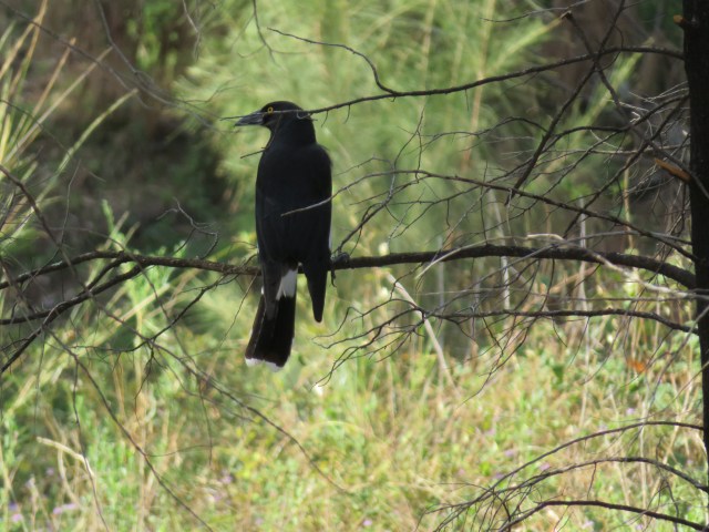
There was also a currawong in the trees:
Then it was back into the car, and off on the long drive back to Turtle Shell.

Great dragonfly!
LikeLike
The black spot in the middle of the eye makes it seem like it’s looking at the camera. For how much a compound eye can be said to be ‘looking at’ you…
LikeLike
Fabulous landscapes! Loving the small life-and larger life -and feathered life observations.
LikeLike
It really was a stunning place. I’m always pleased when I manage to catch those little darting birds on film…
LikeLike
Stunning views! It is a great place and I am very happy to see it again in your photos, even though still a bit charred in spots. The steeper tracks are okay, you will have to go back one day! The Grand High Tops track takes you up past the Breadknife to the Spire and beyond. Did you see the Observatory on the way in? Happy travelling!
LikeLike
It really was quite extraordinary – well worth the four hour round-trip. I did see the Observatory, perched on the mountaintop, and I’ll be heading there soon!
LikeLike